
Walk a Franklin County Street
A Franklin County street directory search starts with the Auditor Property Search, because the address route supplies the parcel context that other systems lack. The first result is a current real-property inventory lead. Record the parcel ID, site address, listed owner, owner mailing address, legal description, transfer clue, jurisdiction fields, and the portal’s current-as-of date. The site address locates land or a building. The mailing address only shows where property correspondence goes. Neither field creates a complete list of people at that location.
Then move one fact at a time. The parcel and legal description point toward recorded documents; the map shows the surrounding geometry; a person-specific voter form can only be used once identity details are already known; and dated directories can add historical context. This order matters because the Recorder does not index ordinary street addresses and ElectionLink is not a browse-by-street tool.
- Enter the address in the Auditor route and save the parcel ID, situs address, listed owner, legal description, and transfer context.
- Open the parcel in the map environment or identify it there. For a segment, select parcels around the subject without assuming parcel data identifies every occupant.
- Use the legal description, named party, document date, subdivision, or document number in Recorder research. Check the recorded instrument rather than the parcel summary alone.
- When a specific voter confirmation is appropriate, use the Franklin County form with first name, last name, birth year, house number, and its verification box. A street name alone cannot run that form.
- For an older Columbus address, compare the year-specific directory entry with the parcel and document trail. The historical collection is a dated source, not a current roster.
Note: Keep the parcel ID and legal description with each search note, because those details remain useful when a street label changes or a result is incomplete.
Franklin County Street Directory Fields
The Auditor’s address form has a local syntax worth following. Enter the street number and street name without a suffix such as Rd, Ave, Blvd, St, or Pl. The official examples use a format such as 373 S High. An asterisk is accepted as a wildcard, so *High can find street names containing High and S *High can narrow that form. Broad or incomplete input can return as many as 500 records. For a range-address question, the Auditor asks users to call rather than treat a broad result page as a definitive answer.
| Auditor address field | Use in a Franklin County street search | Local format or limit |
|---|---|---|
| Street No. | Starts the address query | Enter the number; ask the Auditor about a range. |
| Direction | Distinguishes directional streets | Optional dropdown before the street name. |
| Street Name | Finds the named street | Do not add a street suffix; * is accepted. |
| Unit | Clarifies a building address | Optional text field. |
| Sort and results controls | Organize a result set | Available controls, but values were not captured in the inspection. |
A name search has different rules. The owner route accepts LastName FirstName, a last name, or a partial name. It asks users to omit quote marks, and it can return up to 500 results when no exact match exists. That is useful when checking a recorded party, but it is not a replacement for the address route in a property-search task.
Franklin County Street Address Records
Address-keyed sources serve separate functions. The Auditor is the current parcel inventory. The Parcel Viewer supplies spatial context. The Recorder supplies recorded instruments. Columbus Building and Zoning Services can date a permit or address history within its jurisdiction. Columbus Metropolitan Library provides historic address occupants for its directory coverage. Treat each output as evidence of its own record type, then compare dates and descriptions before drawing a conclusion.
| Address record | Custodian | What it can support | Access path |
|---|---|---|---|
| Current parcel roll | Franklin County Auditor | Parcel, site address, listed owner, assessment and inventory context | Property Search, counter, phone, or API |
| Parcel map | Auditor GIS | Parcel geometry, selected nearby lots, layers, measurements, and exports | Parcel Viewer and GIS assistance |
| Recorded document chain | Franklin County Recorder | Named parties, document dates, type, subdivision, and legal-description evidence | Cloud Search, archive route, counter, or office contact |
| Permit or address history | Columbus BZS, within its jurisdiction | Record date, record number, type, address, and requested history material | Citizen Access or BZS Records |
| Historic address occupant | Columbus Metropolitan Library | Dated directory occupant and later street-section entry | Main Library, digital collection, or staff assistance |
The Treasurer’s property-tax search is another county layer, but it is not title proof. The ElectionLink form is similarly narrow: it requires a specific person’s name, birth year, house number, and verification. Ohio’s public-voter rules still protect fields and protected addresses, and a no-match can reflect an address or name change, a wrong county, canceled status, or protected status.
Note: An owner mailing address and a site address sometimes match, but the Auditor describes different facts and they should be reported differently.
Map a Franklin County Street Segment
The Auditor Parcel Viewer is the correct local tool for looking at a segment, rather than trying to sort an owner list into a street list. Locate the subject parcel through Property Search or the viewer’s By Value route. Identify works on a point, line, or polygon and provides a property-detail link. The viewer also has layer, legend, measure, draw, print, imagery, and export tools. Its documented choices make it possible to preserve a map note and then return to a parcel card for verification.
For nearby parcels, open By Spatial, enter a distance, choose Apply Buffer, and select parcels entirely inside or intersecting the buffer. The results can be exported as CSV. A buffer identifies spatially related parcels. It does not reveal the people inside a home or apartment, so the result must remain a parcel-and-record trail rather than a household list.
The city’s Citizen Access building-record search is shown below, with its address and parcel search routes.

The public form supports one-key searches such as street number and name or a parcel number without dashes. It is a separate municipal record layer, not a map result or person list.
Recorder Limits for Franklin County Streets
Franklin County’s Recorder publishes the county’s most important street-search correction: a street address is not an index value. Once an Auditor result supplies a party, document clue, subdivision, or legal description, use Recorder Cloud Search to research that record language. The Quick Search accepts a grantor or grantee, subdivision, document type, or document number with a recorded-date range. Index-only search treats multiple words individually; the OCR choice treats them as a phrase. Neither option turns an ordinary street string into a complete deed search.
| Recorder field | Why it follows an address search | Recorded-search note |
|---|---|---|
| Party Names, Grantor, Grantee | Tests parties found in a parcel or earlier document | Use LASTNAME FIRSTNAME; add values with Enter. |
| Recorded Date Range | Narrows a transfer period | MM/DD/YYYY start and end. |
| Document Types | Focuses a document question | Filterable multi-select; the live list is dynamic. |
| Document Number or Book, Volume, Page | Finds a known instrument or older citation | Useful when a historical index supplies a reference. |
| Subdivision Legal or Freeform Legal | Connects the parcel’s legal description to documents | Use legal wording with date and party context. |
The Recorder’s published history identifies an 1804–1913 archive search, a deed index beginning January 2, 1914, and a mortgage index beginning January 7, 1970. Counter or book assistance remains the fallback when a historical image or index does not reach the needed era. Staff can explain the website and provide records assistance, but the office does not perform a title search.
Franklin County Street Permit Trail
For an address inside Columbus, Building and Zoning Services adds a useful dated trail. Citizen Access has public categories for addressing, building, code enforcement, engineering, planning, right-of-way, utilities, zoning, and more. The building form accepts an application or permit number, parcel number without dashes, or street number plus street name. The City advises using one narrow key at a time, removing dates for older or broad searches, and reviewing the details behind each record number. Visible result rows show Date, Record Number, Record Type, and Address.
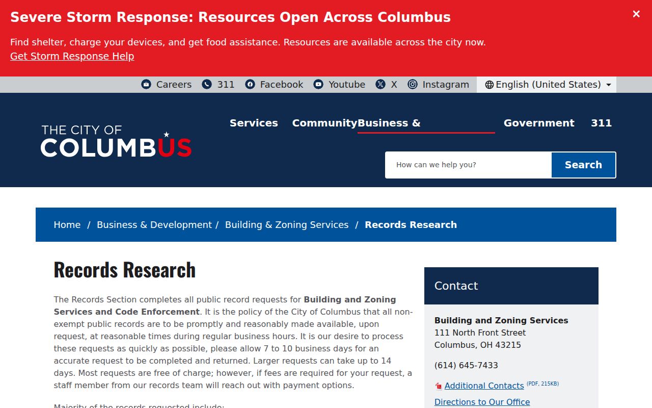
When the online result is missing or too thin, BZS Records Research accepts requests by email, mail, or counter. Its current form can request Address History, Certificate of Occupancy, Inspection Report, Site Plan, open violations, and other specifically named records. The form says plans before 2011 are unavailable under the retention schedule. BZS estimates that careful requests need time, so name the property address, parcel, permit, or record sought instead of asking staff to build an unknown-person list.
The BZS Records Research page is pictured below and documents the city’s request fallback.
A permit or inspection record can date construction, a change, or an address-history lead. It does not establish who lived at the property.
Note: Columbus BZS is a municipal source for its jurisdiction, so a county address outside Columbus may require the relevant municipality or township instead.
Historic Franklin County Street Entries
Columbus Metropolitan Library provides the historical street layer after the current parcel and document work is set aside. Its house-history guidance says city directories reach back to 1841, and the house-by-street-address section begins in 1911. Read the street section for the target year, then check the alphabetical entry and record the exact title, year, and page. The named person is a dated occupant, not necessarily an owner. The 1929–30 Dreher’s Simplex Street and House Number Guide, a 1926 street-arranged phone book, and a 1944 Columbus-and-vicinity phone book are additional, separate sources.
For collection details and careful reading of the older volumes, use the Franklin County city directories. Present-day address research should not stretch a historic entry into a current address claim.
Street Directory Terms for Franklin County
These terms keep a Franklin County street directory search from mixing separate records. They also explain why the parcel card should be copied before switching systems.
- Parcel
- A defined piece of real property tracked by the Auditor. Its parcel ID links a map result to property detail.
- Situs address
- The physical site or building location for the parcel. It differs from an owner mailing address.
- Plat
- A recorded map or subdivision document that can explain a lot, split, consolidation, or legal-description change.
- Criss-cross directory
- An address-arranged historical directory. In Columbus, the house-by-street-address section begins in 1911.
The term legal description refers to recorded land-identifying wording, such as lot, subdivision, condominium, or metes-and-bounds language. It is more durable than a street label when moving from a parcel card to Recorder research.
Public Limits on Street Searches
A Franklin County street directory cannot establish every person connected to an address. There is no official all-household street list. The Auditor describes a current parcel inventory, the Recorder describes recorded instruments, and a historic directory identifies an occupant for its year. ElectionLink is person-specific rather than street-browseable. Ohio law also protects confidential voter information, Safe at Home participant information, protected worker addresses, and municipal utility customer names and addresses. A redaction or no-result is a boundary, not a prompt to reconstruct protected information from nearby records.
Lawful use. Franklin County address records are for personal, lawful research. Ohio’s stalking and telecommunications-harassment laws still apply, and protected addresses or confidential records must not be pursued or used to contact, intimidate, or harm anyone.
When a record appears wrong, identify the actual custodian and record number, then use that office’s correction or request process. Accurate sourcing means retaining the date, record type, and jurisdiction along with the address.
When a Franklin County Street Hit Misleads
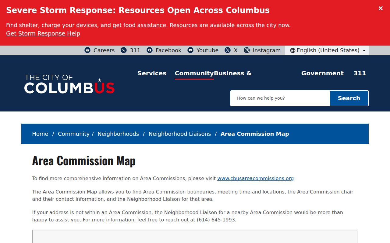
Parcel proximity and civic geography can be helpful without becoming personal directories. Columbus’s Area Commission Map identifies commission boundaries, meeting information, chair contacts, and neighborhood liaisons. It is an official route for civic contact around an address. No official source located a household or member roster through that map, so it should not be described as one.
The city’s Area Commission Map appears below. It can add a community boundary to a street research note while leaving parcel, recorded-document, and person-specific records in their proper systems.
For a full named-street record chain, retain the address, parcel, legal description, record date, and custodian. That simple discipline prevents a postal, map, or mailing field from being mistaken for evidence of current residence.