
Franklin County Neighbors by Block Source
A block search has several distinct layers. The Franklin County Auditor's map provides parcel geometry and an adjacent-parcel selection. A parcel card provides current inventory information. The Recorder provides a document relationship after a party or legal-description lead. City records can describe a permit or address change, and the Columbus Area Commission Map provides a public civic contact. Each source answers a narrower question than “who lives here,” which is why the distinction matters.
| Block source | What it can show | Access and boundary |
|---|---|---|
| Auditor Parcel Viewer | Selected parcel shapes, adjoining parcels, layers, measurement, and map results | Public map; confirm property details through the parcel card |
| Auditor parcel record | Current owner, site and mailing-address distinction, transfer and legal-description context | Current real-property inventory, not a household roster |
| Recorder Cloud Search | Parties, dates, and recorded documents after a parcel or legal lead | No ordinary street-address index |
| Columbus BZS records | Permit, inspection, code, certificate, and address-history context | Columbus jurisdiction and retention limits; not person data |
| Area Commission Map | Commission boundary, meeting details, chair contact, and liaison | Civic contact layer, not a membership directory |
| CML directories and maps | Dated address occupant or historic map context | Historic, date-specific material; occupant does not equal owner |
A property owner can receive mail elsewhere. The site, or situs, address identifies the land or building; the mailing address is correspondence information. Neither field establishes all people living at an address. That is especially important for apartments, jointly owned properties, and property held through an organization.
Map Franklin County Neighbor Parcels
Use the Auditor Property Search to locate the subject address or parcel, then open the Auditor Parcel Viewer. The official Viewer manual describes Identify and the Search Parcel Data tools. Identify can use a point, line, or polygon and links to property detail. For the immediate area, use the By Spatial tab: find a parcel, enter a distance, choose Apply Buffer, then select parcels completely within or intersecting that buffer. The results list can be exported as CSV, while layer, legend, measure, print, imagery, and share tools help preserve the geographic context.
- Find the subject parcel from the address or property record and note its parcel ID.
- Use Identify to confirm the property detail rather than relying on a map label alone.
- Set a small spatial buffer, then select parcels within or touching that chosen area.
- Open selected parcel details one at a time and record the site address, legal description, and current property context.
- Use a Recorder document only after a party, instrument, or legal-description lead appears.
The map's nearby shapes establish a parcel relationship. They do not establish who is inside a home. Broad address searching can return up to 500 results, so the Auditor advises leaving off street suffixes and using an asterisk for a wildcard where necessary. That local search tip is useful when the subject address is unclear, but a broad result list should always be narrowed before a block conclusion. For a full named-street record chain, use the Franklin County street-address directory.
The Parcel Viewer documentation is the source for the buffer and result controls described here. An aerial or StreetSmart image is an orientation aid, not identity evidence.
Franklin County Neighbors and Recorded Documents
After the Viewer identifies a neighboring parcel, carry the legal description, subdivision wording, parcel ID, or named owner into the Recorder Cloud Search. The Recorder's Quick Search accepts a grantor or grantee, subdivision, document type, or document number, with date narrowing and index-only or OCR choices. Advanced Search supports party names, grantor, grantee, recorded date, document type, book, volume, page, subdivision legal, and freeform legal. This is a property-document chain, not a map-based list of neighbors.
Check the candidate instrument's parties, recorded date, document type, and legal description against the parcel detail. A recorder entry can support a documented transfer or plat relationship. It cannot prove a current household. When a title question requires a full legal determination, the Recorder directs the requester to a title company or attorney. Recorder staff can assist with website and historical-index use, and the office offers a counter route at 373 S. High Street, 18th Floor, Columbus.
The Recorder's Property Alert is a no-cost monitoring tool for a name or property interest. It is useful as a consumer-protection layer, but it is not a substitute for inspecting a recorded document.
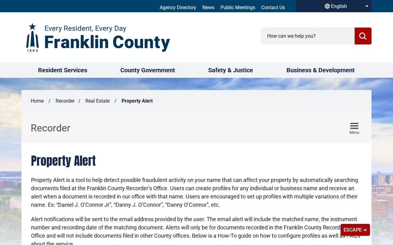
Property Alert supports notice of a recorded filing; a searcher still needs the original instrument and parcel context to understand it.
Franklin County Block Geography Checks
Street address, ZIP label, municipal boundary, and parcel jurisdiction can point in different directions. USPS treats ZIP Codes as delivery-unit and carrier-route geography, not city limits. A Columbus postal label does not prove a parcel is inside the City of Columbus, and a Franklin County address outside the city can have a different municipal or township authority. Check the Auditor parcel card for city, village, township, and tax-district context; use the Recorder for the legal property record; use the USPS ZIP Code Lookup only to verify delivery detail.
Inside Columbus, BZS GIS is the certified street-address and street-naming authority under City Code Chapter 907. BZS notes that a missing city-system address can result from a historic recording error or unapproved numbering, and its Map Room investigates from a request form. Outside Columbus, do not assume BZS controls the address. This records-geography check helps avoid attaching one block's civic body or municipal record to a parcel that lies across a boundary.
Note: A ZIP result identifies postal delivery geography, not the people or government jurisdiction tied to a parcel.
Franklin County Neighborhood Civic Contacts
For a Columbus block, the City's Area Commission Map adds a public community layer without making claims about private households. Choose the address on the map to find the commission boundary, meeting time and location, chair contact, and assigned neighborhood liaison. The city GIS layer includes commissions such as Clintonville, Franklinton, Greater Hilltop, Near East, University, and Westland, among others. The map is the right route for a meeting or civic issue, not a way to locate members or a resident roster.
| Public contact route | What it provides | When it fits |
|---|---|---|
| Area Commission Map | Boundary, meeting details, chair contact, liaison | A Columbus address with a neighborhood or civic question |
| Department of Neighborhoods | Help locating the civic body for an address outside a commission | Call 614-645-1993; 1410 Cleveland Avenue, weekdays 8 a.m. to 5 p.m. |
| Auditor Parcel Viewer | Parcel geometry and surrounding property context | A property-boundary or legal-description question |
The city's sources did not identify an official Area Commission member or household directory. That absence is useful information: use the published meeting and liaison channels, and do not infer membership from where someone lives.
Historic Franklin County Neighbor Context
A historic block needs a date. Columbus Metropolitan Library holds city directories back to 1841, with a house-by-street-address section beginning in 1911. The directories can identify a printed occupant for a target year, while Sanborn maps and atlases can show the building and lot context. Check the Columbus Metropolitan Library research tools for the current collection routes, and preserve the directory title, year, page, and street or alphabetical section in a note.
For images and documents tied to central Ohio history, consult the Columbus Memory collection. It is a community-memory resource, not an official people index. CML announced its two-millionth My History item in December 2025, a digitization milestone that expands the material available for local historical context.
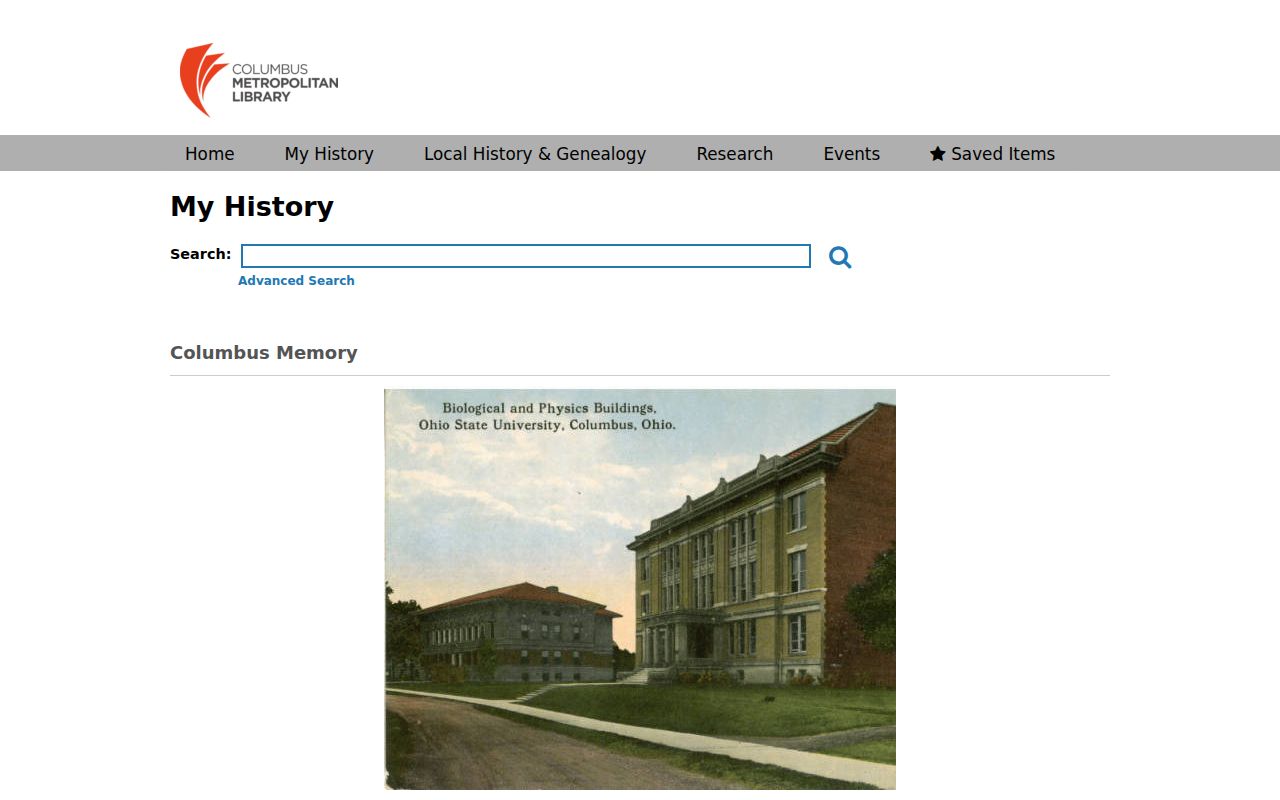
A historic image or directory can place a block in time, but it should not be used to make a current claim about neighbors.
The library's research entry point also helps when a directory volume or map is not online. Main Library holds local-history material, microfilm, and staff assistance for place-based research.
That library route is a fallback for dated block material when the current parcel map cannot answer a historical question.
Franklin County Neighbor Record Choices
Official records and commercial neighbor-lookup categories serve different purposes. The official source has a stated custodian, a defined field set, and a way to check the underlying record. A commercial category may combine information from uncertain dates or sources. Neither category turns a parcel into a complete resident list. For a question about a deed, address, map boundary, or civic meeting, begin with the public custodian that owns that record.
| Official record route | Commercial lookup category | Practical difference |
|---|---|---|
| Auditor parcel card or Viewer | Compiled address listing | The county source distinguishes parcel location from mailing information and offers a current-as-of context. |
| Recorder instrument | Compiled ownership summary | The recorded document names parties, date, and legal property language that can be checked. |
| Area Commission Map | Neighborhood contact listing | The city source identifies an official civic channel, not a private resident group. |
Limits on Franklin County Neighbor Searches
Nearby parcel records show a property relationship, not a household. The Franklin County Board of Elections personal voter search requires a first name, last name, birth year, house number, and verification step; it is not a browse-by-street tool. State voter information is subject to statutory redactions, and a no-match can reflect a changed name or address, a different county, an inactive or canceled record, or protected status. Do not turn a voter-confirmation route into a casual block list.
Ohio public-record limits also protect Safe at Home participant information and other confidential data. Utility accounts, driver information, and private contact details do not become public merely because a parcel is next door. A property owner, a directory occupant, and a voter record are different time-bound records and should never be merged into a claim about all neighbors.